
Interactive
Bhopal in 3D — a low-poly virtual city
Built from real OpenStreetMap data — actual buildings, roads and lakes. Explore below — drag to orbit, scroll to zoom, or pick “Walk / Fly”, click the city and move with WASD. Its day/night toggle is separate from the site theme.
Play a game on this map
Bhopal Quest — travel the city, answer questions at each landmark, earn stars.
Building footprints, roads and lakes from © OpenStreetMap contributors (ODbL); heights and landmarks are stylised approximations. A lighter, hand-stylised version is also available — the stylised 3D map.
Landmarks of Bhopal — a timeline
Oldest to newest — the same order the 3D map numbers its markers (#1 is oldest). Open any landmark in 3D or read its guide.
- 1 c. 1010
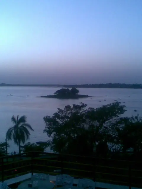
Upper Lake (Bhojtal)
Bhopal's 11th-century heart — an earthen dam built by Raja Bhoj.
- 2 1715
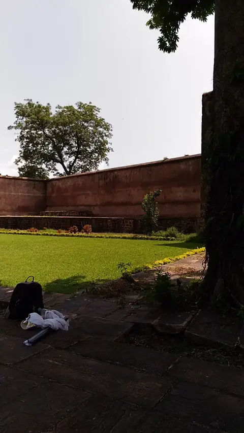
Islamnagar Fort
Dost Mohammad Khan's first capital, north of the city.
- 3 1794
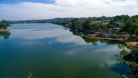
Lower Lake (Chhota Talab)
Built in 1794 by Chhote Khan, ringed by the old city.
- 4 1820
- 5 1860
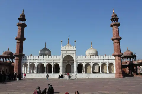
- 6 1877–1985
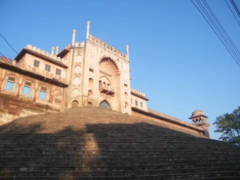
- 7 c. 1949
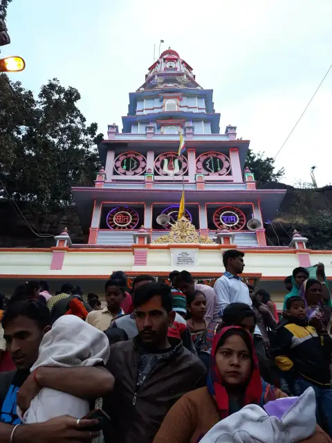
- 8 c. 1956
- 9 1960–64
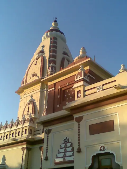
- 10 1977
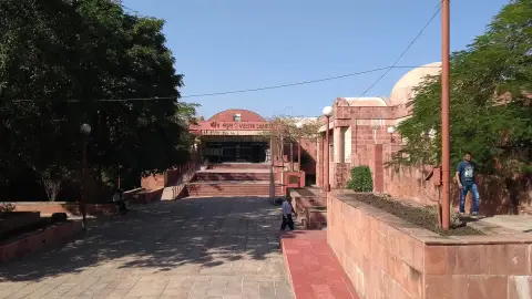
Manav Sangrahalaya (IGRMS)
India's open-air museum of humankind on Shyamla Hills.
- 11 1979
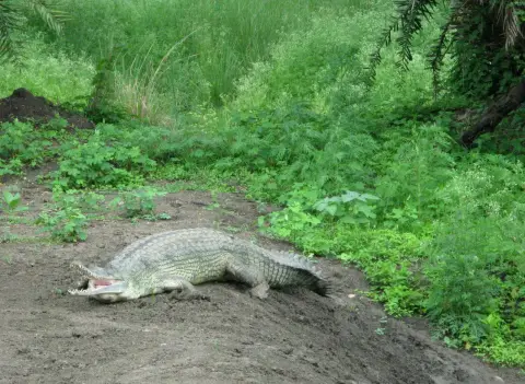
Van Vihar National Park
A safari-style national park along the Upper Lake.
- 12 1982
- 13 1996
- 14 2013
- 15 2021
Founding years from authentic sources (MP Tourism / ASI / Wikipedia); those marked “c.” are best estimates.